Aerial Power Line Inspection
High-Zoom Imaging,Thermal Diagnostics,Close-Approach Autonomy
Aerial Utility Operations
- Hard-to-Reach Transmission Corridors
High-voltage lines span mountains, ravines, wetlands, and restricted right-of-way (ROW) areas. Reaching remote towers requires long travel times or costly helicopter-based traditional methods. - Early Defects Invisible From Ground Level
Cracked insulators, loose connectors, conductor galling, corrosion, and bird interference remain difficult to detect from ground crews due to limited angles and long spans during drone inspection planning. - High Cost and Limited Precision of Helicopter Patrols
Helicopters are expensive, weather-sensitive, and offer limited imaging detail. UAV-based power line inspection provides clearer views, minimizes dependence on weather conditions, and increases consistency across long corridors. - Safety Risks to Field Personnel
Climbing lattice towers, entering unstable terrain, or approaching energized structures introduces fall hazards and electrical risk. UAVs maintain a safe distance while capturing detailed structural data. - Delayed Storm Recovery and Outage Response
Blocked roads and damaged access routes slow ground teams. UAVs provide fast real time assessment for miles of transmission and distribution lines.
How UAVs Strengthen Power Line Operations

Precision Imaging
20×–40× zoom EO payloads, thermal camera modules detecting 2–3°C anomalies, and LiDAR generate sub-millimeter detail and high-density point cloud files for component evaluation and vegetation encroachment mapping.

Autonomous Proximity
Autonomy algorithms hold stable safe distance offsets from poles, crossarms, insulators, conductors, and hardware, enabling close-approach imaging without manual micro-positioning.

Rapid Assessment
Single flights cover several miles of corridor, capturing detailed data on broken poles, frayed conductors, debris impacts, and vegetation hazards to shorten outage restoration windows.
VANTA BOTICS Power Line UAV

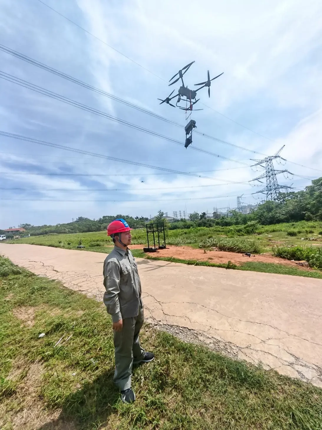
Precision Imaging & Thermal Fault Detection
High-resolution EO/IR payloads support power line inspection workflows by identifying hotspots, corrosion, hardware defects, insulator cracks, and connector issues with consistent data collection.

Autonomous Corridor Flight Planning
Automated tower-to-tower waypoint creation, ROW-aware routing, and terrain-adaptive paths generate repeatable, audit-ready inspection reports.

Vegetation Encroachment & ROW Analysis
LiDAR-based point cloud modeling identifies vegetation encroachment, clearance distance violations, and fall-risk trees, improving utility vegetation management cycles.
Strengthen grid operations with UAV systems built for Aerial Power Line Inspection. Gain high-resolution imaging, thermal diagnostics, and safe tower-proximity views to locate faults faster and reduce storm-related downtime across long transmission corridors.
AI-Assisted Data Analysis
VANTA BOTICS provides automated data analysis, including:
- AI-based defect tagging
- Hotspot classification from thermal imaging
- Structural component recognition
- Vegetation clearance computation using LiDAR point cloud
- Automated inspection reports compatible with utility asset systems
Standards and Compatibility
Workflows aligned with EPRI and North American T&D practices
GIS-ready data collection outputs (GeoTIFF, LAS, shapefile)
Compatible with ESRI Utility Network and utility work management systems
Supports FAA Part 107 and energized-line safe distance protocols
Designed to improve efficiency over traditional methods
Support for Grid Operations
Utility inspections require high visual clarity, safe workflows, and consistent imaging across long distances. VANTA BOTICS UAV systems deliver cost effective field operations, better defect visibility, and safer tower assessments.
- 20×–40× optical zoom with high resolution cameras
- 2–3°C thermal imaging anomaly detection
- Autonomous close-approach power line inspection
- Multi-mile inspection per flight for real time restoration
- LiDAR point cloud vegetation modeling
- Automated inspection reports and data analysis tools
Tell us about your corridor lengths, terrain challenges, and maintenance priorities—we’ll help build a UAV-based drone inspection workflow aligned with your grid operations.